Landowners and sellers
Understand your property's development potential before you list. Bring cited zoning facts and clear verification questions to the conversation with your agent.
Screen a property you ownA clearer view of property
Bring zoning, site conditions, and public records into one clear property report. See the possibilities and what needs a closer look.
Your first full report is free. No credit card required.
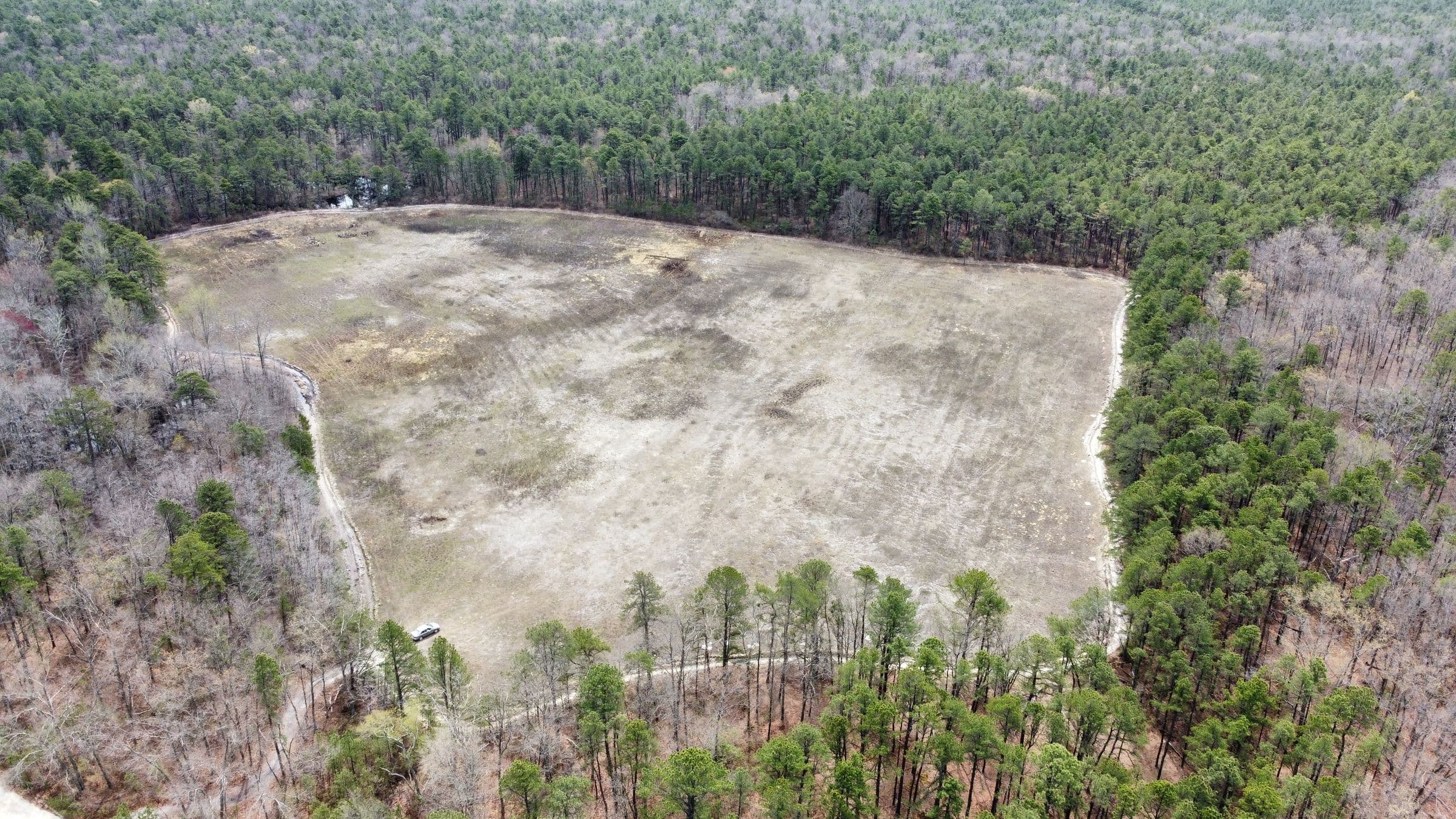 Look beyond the boundary
From the sample report
Area records differ. Reconcile before proceeding.
See the evidence Sample PDF, p. 7 ↗Zoning & land useUnderstand the rules that shape a property.
Site conditionsSee mapped constraints and what to verify.
Sources & next stepsGo deeper with cited public records.
Who Landbase is for
Understand your property's development potential before you list. Bring cited zoning facts and clear verification questions to the conversation with your agent.
Screen a property you ownAssess the code path, public-record constraints, and costs of record before spending more time on a potential acquisition.
Evaluate your next propertyHelp clients understand a parcel's possibilities and limitations. Use the cited findings to prepare better questions for planning staff.
Research a client's propertyInside the report
Walk through a complete screening report, from the first finding to the source behind it.
Sample property
Illustrative screening example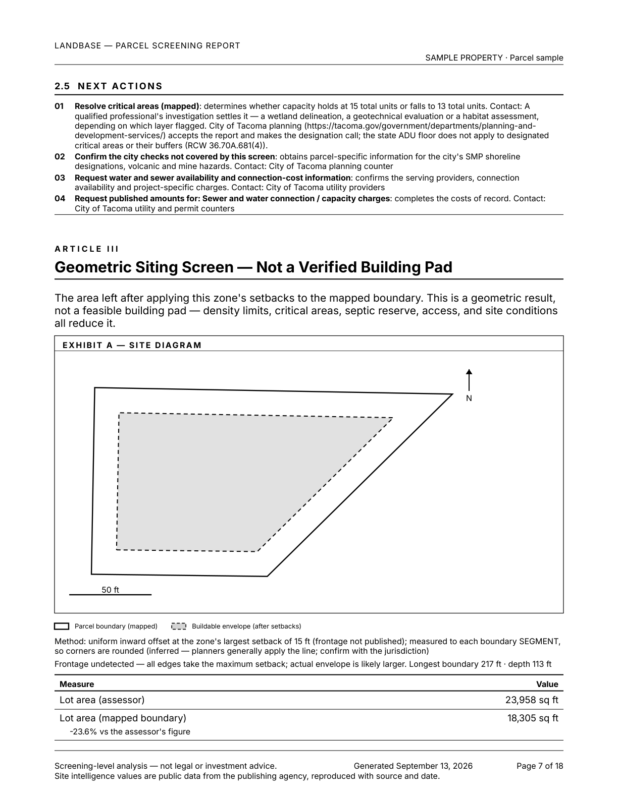
See the mapped parcel and setback envelope. Not a verified building pad.
See where zoning rules are available and where parcel zoning needs confirmation. Every report identifies its sources, missing information and the checks needed before relying on its findings.
Each listed designation has screening rules or a cited reason no number is available. Overlay and parcel-specific requirements may still need verification.
Rules cover some zoning designations. Reports identify unsupported designations and missing inputs; capacity depends on the available rules and evidence.
Get your first full screening report free. If your location is outside our coverage, tell us where you own, sell, or research property.